On 17th November 2014
my mate Dan and I set off for a drive down to Deal, Kent.
It was pouring with
rain on the drive down, but thankfully had stopped by the time we arrived. We
parked up on the seafront by Dolphin
Street where there is free parking.
Deal became a 'limb port' of the Cinque Ports in 1278 and grew into the busiest port in England; today it is a seaside resort, its quaint streets and houses the only reminder of its history. The coast of France is approximately twenty-five miles from the town and is visible on clear days
 |
| Dolphin Street. |
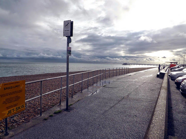
We set off down the
promenade on our way to Dover.
On our way along we pass Deal Pier.
We set off down the
promenade on our way to Dover.
On our way along we pass Deal Pier
Deal has had 3 piers
in its time. Many schemes have been put forward over the centuries for the
construction of a harbour for the commercial advantage of the town, but none
came to anything. To overcome the problem, in 1883 a company was commissioned
to construct a wooden pier as a substitute for the harbour.
Sir John Rennie who
was responsible for the construction of Tower Bridge
was commissioned to design a pier of 445 ft in length. With funds lacking the
first pier was never finished.
The present pier was
designed by Sir William Halcrow and partners. Officially opened in 19th
November 1957 by the Duke of Edinburgh. The Only Pleasure pier constructed
since the war.
A little way along we
come across The Deal Time Ball Tower.
Closed at this time of year.
Deal Timeball is a Victorian maritime Greenwich Mean Time signal located on the roof of a waterfront four-storey tower in the coastal town of Deal, in Kent, England. It was established in 1855 by the Astronomer Royal George Biddell Airy in collaboration with Charles V. Walker, superintendent of telegraphs for the South Eastern Railway Company. It was built by the Lambeth firm of engineers Maudslay and Field. The timeball, which, like the Greenwich timeball, fell at 1 pm precisely, was triggered by an electric signal directly from the Royal Observatory.
Before it became a timeball tower, the tower was a semaphore tower used to signal to ships at anchor in the Downs or passing in the English Channel.
From 1821 to 1831, the Tower carried a semaphore mast, which was used by the Coast Blockade for the Suppression of Smuggling to pass information along the coast. The Blockade was under the auspices of the Navy, and was manned by their personnel.
The Timeball Tower stands on the site of an earlier Shutter Telegraph. This was one of a chain of telegraph stations between the Admiralty in London and the Naval Yard at Deal. The telegraph line opened in 1796 and closed in 1814. Its purpose was to allow rapid communication between London and Deal, the latter being an important Naval anchorage during the Napoleonic Wars. In 1805 news of the naval victory at Trafalgar and the death of Nelson was brought to Deal by the schooler H.M.S. Pickle and transmitted by the telegraph to the Admiralty in London.
The Deal Timeball Tower Museum features exhibits about the history of the tower and its use for navigation aid, fight against smuggling, signaling, and the mechanics of the timeball.
We pass some fishing boats on the beach, where they unload their catch. Fresh fish was being sold by the street.
We now pass Deal Castle
on our right.
It is one of the
most impressive of the Device Forts or Henrician Castles built by Henry VIII between 1539 and 1540 as an
artillery fortress to counter the threat of invasion, brought about by the
alliance between Charles V, Holy Roman Emperor and
King Francis I of France in 1538. Deal Castle
and its smaller neighbours, Walmer and Sandown, were intended to dominate the Downs,
a sheltered area of water in the English Channel protected by the Goodwin
Sands, which would have been an ideal rallying point for any invasion
fleet. The three forts were initially linked by an two mile long earthen
"fosse" or rampart, strengthened by three small earth
"bulwarks" or forts. These earthworks were sketched by the antiquarian
William
Stukeley in 1725, but now no trace of them remains.The architect at Deal
was probably the Bohemian
engineer, Stefan von Haschenperg. The whole scheme for
the defence of the Downs was completed by the
autumn of 1540.
In 1648, during the Civil
War, Deal Castle was besieged but after
that it never engaged in any further military action. Fortified during the Napoleonic
Wars, many alterations were made during the 18th and 19th centuries. The
Governor's lodgings were rebuilt at the beginning of the 19th century, only to
be destroyed again in 1941 by German bombs in the Second
World War. From May 1940 until September 1944, the castle was used as the
Battery Observation Post and accommodation for the nearby Deal Emergency
Coastal Battery of 6-inch naval guns.It was the official
residence of the Captain of the Cinque
Ports, but since 1951 has been owned by English
Heritage.
We now enter the village of Walmer.
Julius Caesar reputedly landed on the beach here in 55
BC and 54 BC. It is only one possible landing place, but it is the most
probable, judging from the distances given in his account of the landings in
his Gallic Wars. In the 19th
century it was thought that he had landed by Deal Castle
- hence a house there with SPQR emblazoned on its gate - but the landing-point is now put
half a mile further south, beyond the lifeboat station, and marked by a
concrete memorial.
The coastal confederation of Cinque
Ports during its medieval period consisted of a confederation of 42 towns
and villages in all. This includes Walmer, as a 'Limb' of Sandwich,
Kent.
We are soon passing Walmer Castle.
Walmer Castle is a castle at Walmer in Kent, built by Henry VIII in 1539–1540 as an artillery fortress to counter the threat of invasion from Catholic France and Spain. It was part of his programme to create a chain of coastal defences along England's coast known as the Device Forts or as Henrician Castles. It was one of three forts constructed to defend the Downs, an area of safe anchorage protected by the Goodwin Sands, in Kent, southeast England. The other forts were at Deal and Sandown.
From Walmer we follow the single beach to Kingsdown. During the Middle Ages, the coastal confederation of Cinque Ports consisted of 42 towns and villages. This included Kingsdown, under the 'limb' of Dover.
In 1926, the first woman to swim the English Channel, 19 year-old Gertrude Ederle, made landfall at Kingsdown, after a 35-mile crossing (the direct distance is 21 miles) in record time.
Kingsdown is located at the northern end of the White Cliffs of Dover; the village itself sits below the chalk cliff and in the valleys leading down to the shore, with some outlying buildings and the holiday camp on top or midway up. The chalk, which dates from the Cretaceous period, is a natural aquifer that forms the source for Kingsdown Water, which is extracted to the north west of the village. The Kingsdown foreshore is the most southerly point of a shingle bank and flood plain that stretches north to the Isle of Thanet.
The beach and downs around the village are important for migrating birds and insects, and for rare plants. The beach and cliffs are part of the Site of Special Scientific Interest that stretches south to Folkestone. The beach is largely shingle[but low tide exposes some sandy areas and a chalk shelf stretching out to sea, particularly in the area of Oldstairs Bay at the southern end.
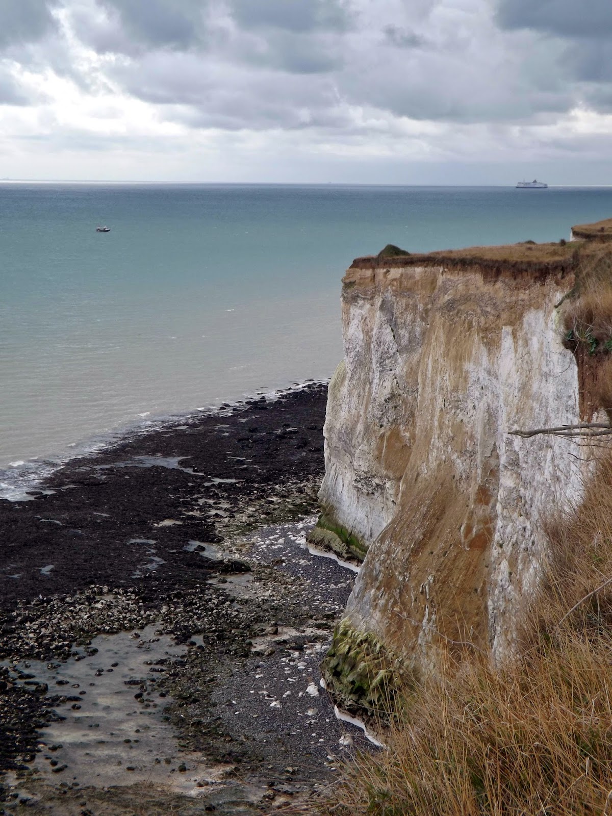
We now climb steeply up some steps up onto the famous white
cliffs.
 |
| View back to Kingsdown. |
We come across the Monument to The Dover Patrol high up on the cliff opposite the tea rooms that I assume are closed for the winter.
The Dover Patrol was a Royal Navy command of the First World War, notable for its involvement in the Zeebrugge Raid on 22 April 1918. The Dover Patrol formed a discrete unit of the Royal Navy based at Dover and Dunkirk for the duration of the First World War. Its primary task was to prevent enemy German shipping—chiefly submarines—from entering the English Channel en route to the Atlantic Ocean, thereby obliging the German Navy to travel via the much longer route around Scotland which was itself covered by the Northern Patrol.
In late July 1914, with war looming, 12 "Tribal"-class destroyers arrived at Dover to join the near obsolete destroyers already at anchor in the harbour, most of them built in the late 19th century. These destroyers formed the nucleus of the fledgling Dover Patrol, which, from its early beginnings as a modest and poorly equipped command, became one of the most important Royal Navy commands of the First World War.
The Dover Patrol assembled cruisers, monitors, destroyers, armed trawlers and drifters, paddle minesweepers, armed yachts, motor launches and coastal motor boats, submarines, seaplanes, aeroplanes and airships. With these resources it performed several duties simultaneously in the Southern North Sea and the Dover Straits: carrying out anti-submarine patrols; escorting merchantmen, hospital and troop ships; laying sea-mines and even constructing mine barrages; sweeping up German mines; bombarding German military positions on the Belgian coast and sinking U-boats. During the war, the Dover Patrol was maintained by the Dover Engineering Works, an Iron Foundry which employed and housed many hundreds of workers in Dover Town and was managed by Vivian Elkington, nephew of Walter Emden. The company still exists today operating from a reduced premises at Holmestone Road, under the name of Gatic.
After the war, a fund was set up to erect a memorial to the Dover Patrol. In July 1921, the memorial at Leathercote Point near St Margaret's Bay was unveiled.
 |
| An Old Morris Minor that sped off as we approached. |
We head down some
steep winding stairs down to the beach at St Margaret's Bay.
Here on the beach is a hut
shaped like an upturned boat.
I could see what looked like a cave set in the cliff, so we attempted climbing up. The chalk was very slippery and Dan bottled it, but I managed to get up there only to find its just an alcove. The way down was even trickier but managed to get down without any incidents.
We now reach The Coastguard PH, the closest pub in England to France.
 |
| View from The Coastguard across to France. |
We left the pub and started walking up the road and Dan pointed out a footpath, we took this and it took down some steep ladder like steps back down to the beach passing an old pillar box.
We now headed back up the ladder and back to the road where I noticed the remains of an old wall that formed part of the defenses from the Napoleonic invasion in 1798 to 1803.
We follow the Saxon Shoreway footpath and pass the Pines Gardens, museum and tearooms.
This organically managed garden has a lake, poetry path and sustainability trail for children, as well as a grass labyrinth and organic kitchen gardens with over 40 different species of fruit and vegetables, from the exotic to the familiar.
Founded by ‘Flowering’ Fred Cleary in 1971, the garden contains many beautiful and unusual mature trees and shrubs including walnut, fig and pomegranate trees.
The Pines Garden uses both old and new models for sustainable land management and the garden has been run organically since 2002. This is far more than just not using herbicides and pesticides, with emphasis placed on working in harmony with the natural systems, composting, recycling and learning how to use natural predators to control pests
The museum, created by the Trustees in
memory of Fred Cleary CBE, houses a programme of changing displays on St
Margaret’s during WW2, environmental themes and local history. Come and
experience our current exhibition for all the family! Try on a wartime costume,
experience life under a Morrison shelter, bring your (great) grand parents and
ask them to share their memories.
Also on display is a tribute to one-time
resident of St. Margaret’s Bay, Noel Coward and other local history. The Bay
Trust will be working with St. Margaret’s history society and Dover Museum
& Arts Group on special displays and events.
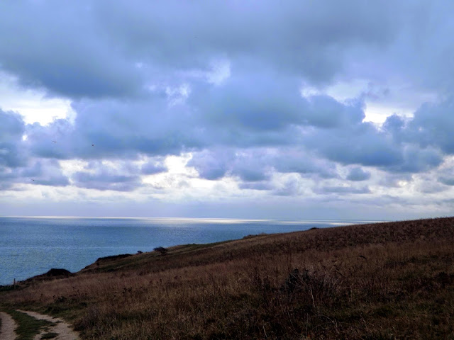
We are now walking back along the cliffs with amazing views across the Dover Straits and across the France.
We reach the SouthForeland Lighthouse. A landmark of the White Cliffs, the Victorian lighthouse was built to warn mariners of shifting sands and guide them through the Strait of Dover. A place of innovation and science, the lighthouse was the first to display an electric light anywhere in the world.
The Goodwin Sands cover a huge area of the English Channel between the South Foreland Lighthouse and Ramsgate. The sandbank - hidden below the sea for most of the time – has been a graveyard for ships and mariners alike.
Since the 14th century there have been warning lights positioned on the White Cliffs, which overlook the Sands, to warn shipping of this hazard.
The distinctive white lighthouse was built
in 1843, to mark the dangerous offshore banks of the Goodwin
Sands. It was used by Guglielmo Marconi for his work with
radiowaves and received the first ship-to-shore message from the East Goodwin
lightship. It also received the first international radio transmission from
Wimereux, in France,
in 1899.
We now take the path that runs behind the
lighthouse and back along the cliffs to Dover.
After some walking we
now see Dover Harbour and port.
Originally established in 1606, the principal activities of the Dover Harbour Board (DHB) are to administer and maintain the Port of Dover and its facilities and to develop resources to meet future demands.
The Port of Dover is Europe’s busiest ferry port, a vital international gateway for the movement of passengers and trade. It is also an award-winning cruise port, the second busiest in the UK and hosts some of the world’s most prestigious cruise lines.
It is the nearest English port to France, at just 21 miles away, and is the world's busiest passenger port, with 16 million travellers, 2.1 million lorries, 2.8 million cars and motorcycles and 86,000 coaches passing through it each year.
Further along the cliffs we can see the work to restore the Fan Deep Shelter.
Fan Bay Tunnels, also known as Fan Bay Deep Shelter is a system of underground tunnels located on the edge of Fan Hole on the White Cliffs. The shelter is located on the land which was purchased in the national appeal to buy the remaining section of the White Cliffs he underground tunnel system is almost all that remains of the Fan Bay battery.
The site is an important part of UK conflict archaeology and it is made even more unique because two sound mirrors were located alongside the entrances.
We continue up and down the cliffs now passing directly over the Port Of Dover and below the radar system
We now have superb views across to Dover Castle. Dover Castle is a medieval castle in the town of Dover. It was founded in the 12th century and has been described as the "Key to England" due to its defensive significance throughout history. It is the largest castle in England.
We had 5 minutes before the next train. I get to the ticket office, but there was an oldish couple who seem to using the only ticket booth to book their holidays rather than just buying a ticket. There are no ticket machines so I had little choice but to wait, almost 10 minutes later the couple finish their trip to London planning and I get my ticket to Deal (£5.10) but the train has long gone and we have a 40 minute wait for the next one!
We eventually arrive back at Deal and head back to the seafront and stop off at The Seaview Restaurant for some Cod and Chips, one of the best Ive tasted, really superb. We are finally back at the car for the journey home after a 12 mile walk.


No comments:
Post a Comment