I leave the car park and walk down a hill towards the beacon,to my right is the Whipsnade White Lion.
This is a creation of the 20th century, built in 1933 from a design by Mr. R.B. Brooke-Greaves to indicate the position of Whipsnade wildlife park. It is the largest of all the figures and after being cut in outline only it is now a solid figure making it a very impressive site even from some distance. Being so conspicuous it is effectively used to advertise the zoo. The lion was covered for the duration of the war with netting, turf and paint. The lion is occasionally illuminated and was so for the 50th birthday of the zoo in 1981, the lights have been recently replaced. The lion is home to a colony of cavies and wallabies which can be seen occasionally on the lion.


Overhead was a light aircraft towing up a glider. This reminded me of my glider flight over the Chilterns from Marlow, three years ago.An amazing experience! The blog for which is here.


 |
| The Ivinghoe Beacon Trig Point |


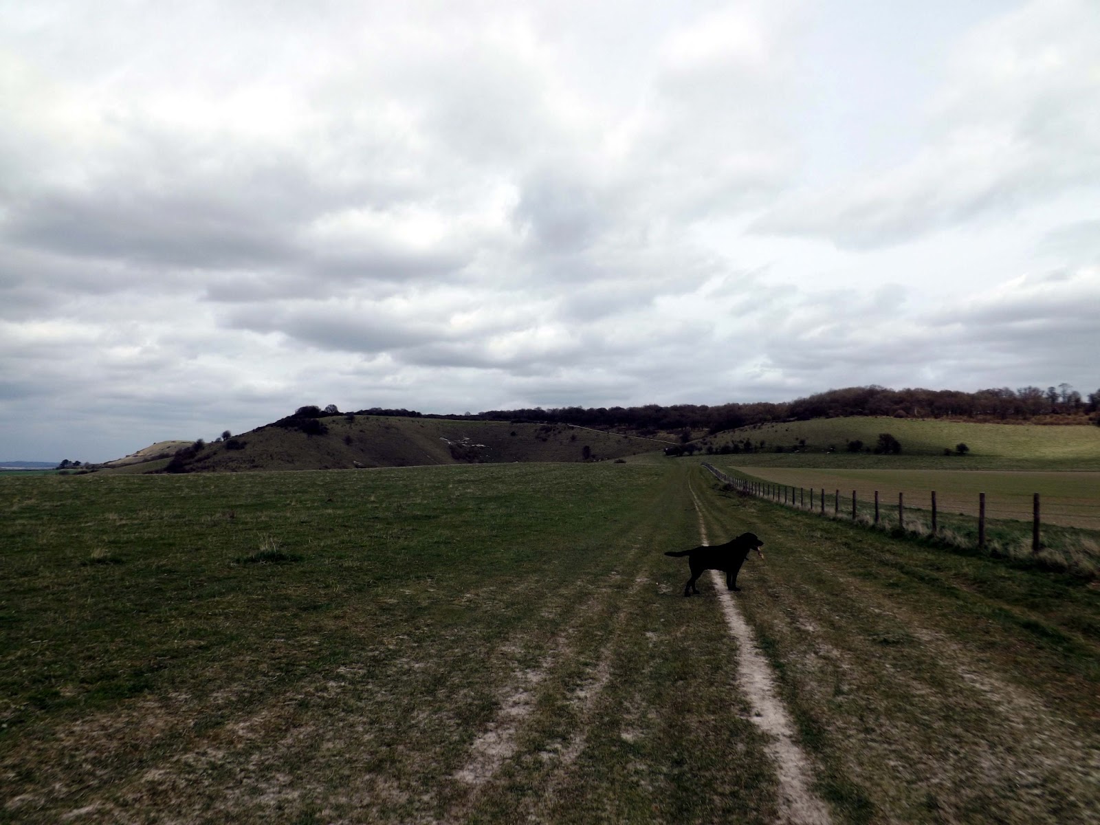
I now begin to walk down from the Beacon following The Ridgeway. The Ridgeway National Trail, 87 miles (139km) through ancient landscapes.The
Ridgeway runs between Overton Hill (Wiltshire) and the Ivinghoe Beacon
(Buckinghamshire). Thought to be Britain's oldest road it dates back
about 5000 years. You really feel like you are walking through history.

Down to my right is Pitstone Windmill. This is one of the oldest windmills in Britain.
Pitstone windmill ground flour for the village for almost three hundred
years until a freak storm in the early 1900s left it damaged beyond
economic repair.Donated to the National Trust in 1937 Pitstone Windmill has been faithfully restored


 |
| A view from the Woods |


 |
| A disused hut. |
 | |
| A wild Primrose |
I emerge from the woods to the sight of the Bridgewater Monument. The Grade II listed Bridgewater Monument (grid reference SP970131) was built in 1832 in memory of Francis Egerton, 3rd Duke of Bridgewater (1736–1803), "the father of inland navigation". It is 108 feet (33 m) tall, with 170 steps inside, designed by Sir Jeffry Wyattville..


 |
| A view from the woods looking down to Aldbury. |

I emerge into Aldbury, a picture card perfect village.Complete with pub,Post Office and Green.


 |
| View from the Pub garden. |


I walked further along the road to St John The Baptist Church in Aldbury.


 |
| Looking back to St John The Baptist Church |
 |
| Looking back to The Bridgewater Monument high above Aldbury |


 |
| Cattle (Belted Galloway) sheltering beneath a wind-swept bush. |

 |
| Looking down to Pitstone. |
 |
| Looking across to Ivinghoe Beacon,the end of the walk is in sight. |


I walk on looking down into the valleys and towards the Beacon.


Just as I reach the beacon I saw the fantastic sight of Red Kites soaring above the beacon and could hear their amazing calls. Out of this world and something I never tire of. The Chilterns are alive with these fantastic birds.


All in all a 10 mile walk,that last climb out of Incombe Hole,really finished me off. This walk was just great and I'll probably come back sometime.