On 16th November 2015 I set off for
Rickmansworth in The Chilterns to walk the
Chess Valley Walk. I arrived at Rickmansworth Station on the Metropolitan line and exited the station. Considering the walk starts from the station there were no signs. I headed under the lines via and a subway and into town. A wrong move I spent an hour trying to find the start, a confusing amount of roundabouts and several rivers and canals all meet here.
Rickmansworth was one of five manors with which the great Abbey of St Albans had been endowed when founded in 793 by King Offa. Local tithes supported the abbey, which provided clergy to serve the people until the dissolution of the monasteries in 1539. Around the time of the Domesday Book, the population of "Prichemareworth" may have been about 200.
The three rivers, the Colne, Chess and Gade, provided water for the
watercress trade and power for corn milling, silk weaving, paper making
and brewing, all long gone. Other industries have included
leather-tanning, soft drinks, soya processing, laundry, straw-plaiting
and stocking production. Now there are commercial offices and commuter
homes, and the rivers, canal and flooded gravel pits provide for
recreation.
After advice from a local I ended up at
Batchworth Lock on the Grand Union Canal. I visited the Canal Centre and was given a guide to the walk. More advice was given and either I misunderstood the directions or again I was given wrong advice,
By the late eighteenth century, the town of Rickmansworth had emerged
along the adjusted route of the Grand Junction Canal that carried cargo
from West London towards the Midlands. Branches were then built to serve
other local businesses.
One branch was once part of the River Chess but changed in 1804 to
serve the former Salters Brewery. It ran for 540 yards from the brewery,
though Chess Lock next to the Canal Centre and on to Town Wharf. Its
traffic with hundreds of barrels of beer made its way to Uxbridge and
back! Next to it stands what is now Batchworth Canal Centre – once part
of an old stable block.
Another was a 150-yard cut built in 1818 to serve Batchworth Mill,
which had just become part of the growing John Dickinson paper making
empire: it's now used by Affinity Water, and is where our main education
work takes place.The cut actually comes off the River Colne as it heads
to cross the canal having come through the mill, having powered the
machinery until 1910 or so.
A third branch next to St. Mary's Church in the town centre travelled
300 yards through Bury Grounds to deliver flour to John Taylor’s
bakehouse.
John Dickinson opened in 1830 another paper mill next to the Grand
Union Canal at Croxley. This later became the largest paper pulp mill in
Europe and depended largely on the canal for supplies of coal from the
Midlands, as well as raw materials like esparto grass brought up, often
by barge, from London Docks.
Trade on the canal was a multi-million pound industry and continued for
many years. A particularly prominent local canal business was WH Walker
and Brothers Ltd, once standing at Frogmore Wharf where the town’s
Tesco supermarket is now. Opened in 1905, the yard built and repaired
very large numbers of distinguished and hard-working wooden boats.
Canal work slowly declined to virtually nothing when speedier planes,
trains and automobiles were introduced and took over. The paper mill at
Croxley finally closed its doors in 1980 followed by WH Walker and
Brothers Limited in 1988.
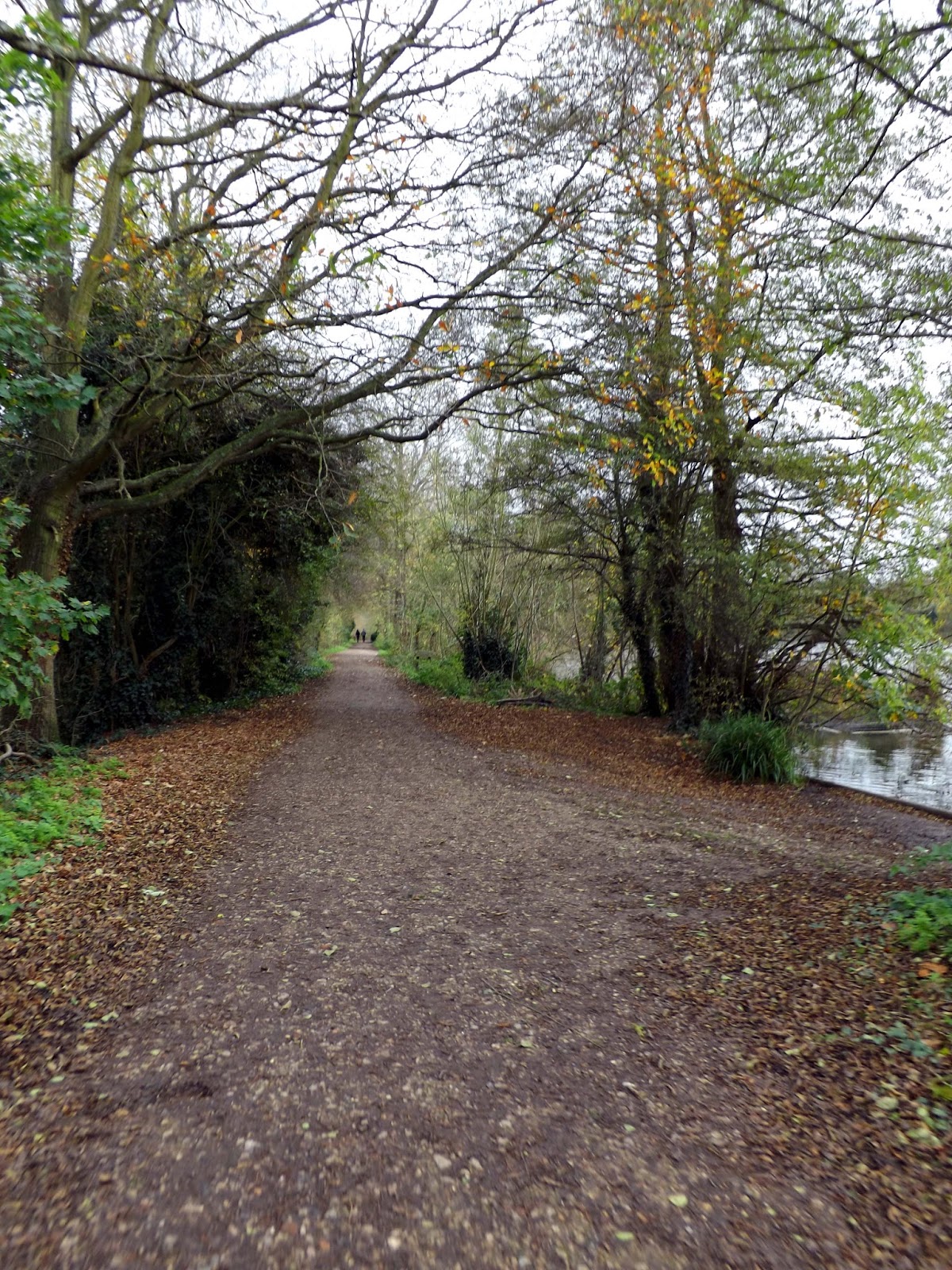
I walked back off again into town and arrived at
Rickmansworth Aquadrome.
I asked some more locals for directions and was guided to the canal and The Chess came off there. So off I walked.
I arrived back at Batchworth Lock, where I had started. The Chess does indeed branch off the canal, but as I find out after more walking in the wrong direction this is where The Chess finishes!
I was following
The Ebury Way that goes to Watford, not what I wanted!
So back I walk, after some time I'm back in the town and consulted Google maps on my phone and after walking some way in the opposite direction I eventually find the walk and my first sign!!
I must admit I was close to giving in on this walk altogether.
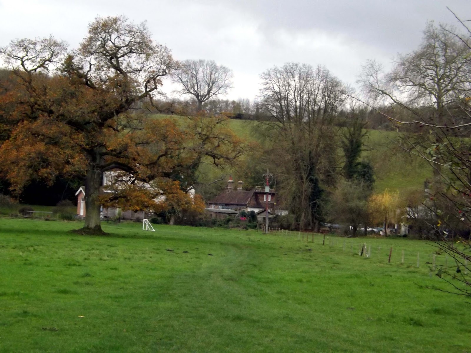
I got my first sight of
The River Chess.
The
River Chess is a chalk stream which springs from
Chesham, Buckinghamshire and runs through Buckinghamshire and Hertfordshire, in south-eastern England. The Chess, along with the
Colne and
Gade, gives rise to the name of the district of Three Rivers, where it forms its confluence with the Colne at
Rickmansworth.
The River Chess fall is 60 metres and its length is 11 miles.
The Colne,Chess and Gade supplied water for industries including papermaking,milling and watercress growing.
I passed the Royal Masonic School. One of the oldest girls school in
the country. The school was founded in 1788 in East London to educate
the daughters of the poor Freemason. It moved to Rickmansworth in 1934.
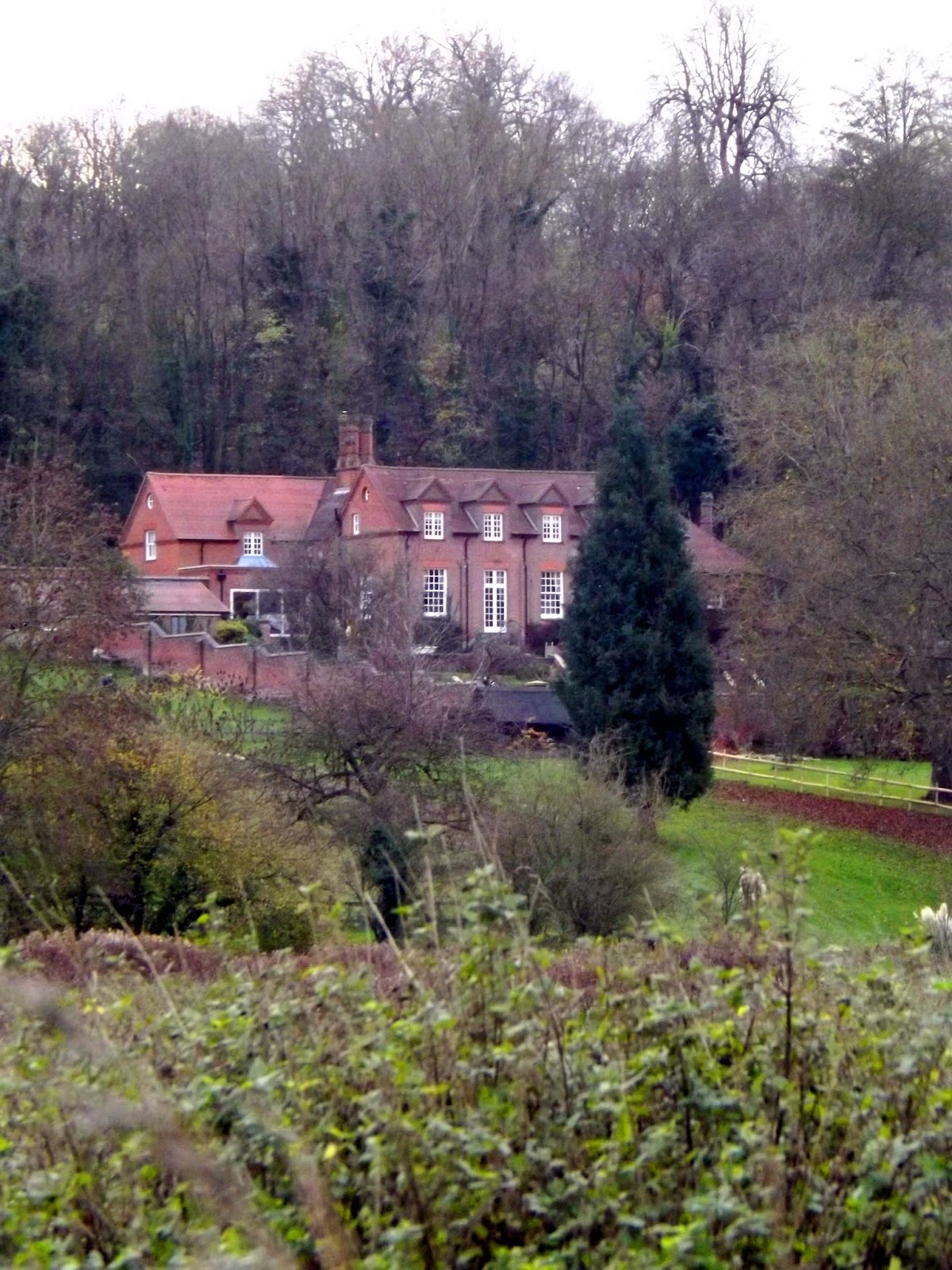
Further along the river I see Glen Chess. This imposing house was built by Herbert Ingram who owned and operated the nearby Loudwater Paper Mill. He founded The Illustrated London News in 1842.
Glen Chess now appears to be broken up into flats, as seen here on
Rightmove. A two bed flat selling for £318,000.
Here at Loudwater ( old name for The River Chess) Archaeological digs found evidence of a settlement here dating back to the 4th century.
I now approach the M25 and its thundering noise.
Crossing over the M25 I walk up a road for a short distance before taking a right turn down a surfaced track and eventually back down to the Chess.
I cross the Chess by means of a bridge and walk onward.
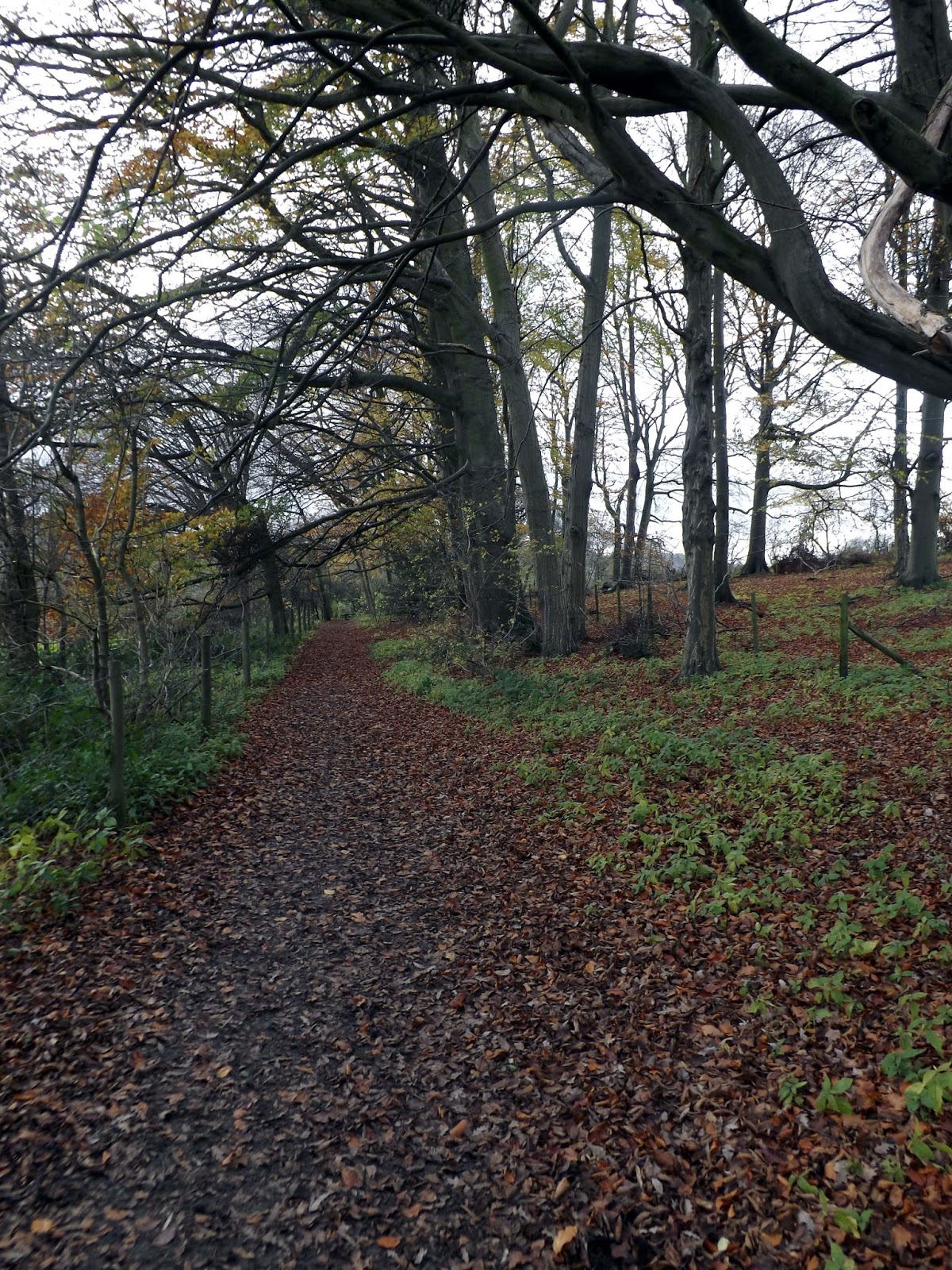
I now reach Sarratt Bottoms and its Water-meadows. It is really muddy here after all the recent rain from Storm Abigail.
Again I cross The Chess and then walk alongside her though some woods.
I am now passing by some Watercress beds in The Chess. Watercress is one of the oldest green vegetables known to man. The Chess with its mineral rich spring water is ideal for producing this superfood.
The Watercress beds at Sarratt Bottom are the last of a once major industry in The Chilterns.
I cross over the river and I am now at the Watercress farm entrance. I would have gone in for a look but I was trying to make up for lost time at the beginning of the walk.
I follow on along side the river though Frogmore Meadows.
 |
| One of many Red Kites. |
|
I eventually reach Mill Farm and Mill Farm Meadows after much mud.
I stop on the road on the bridge and watch the Chess trundle on by.
I take a gravel path next to the farm and through the meadows and more mud.
I eventually reach
Latimer and I stop for a cup of tea on a rock by the tree. I am now really tired and my sprained ankle from a few weeks back is starting to ache a bit again.
Latimer was originally joined with the adjacent village of
Chenies. Both were anciently called
Isenhampstead, at a time when there was a royal palace in the vicinity. However, in the reign of King Edward III of England the lands were split between two manorial barons:
Thomas Cheyne in the village that later became called 'Chenies', and
William Latimer in this village. Latimer came into possession of the manor in 1326.
At the time of the English Civil War Latimer belonged to the
Earl of Devonshire. When
Charles I was captured by the Parliamentarian forces he was brought to Latimer on his way to London.
The small village includes 17th and 18th century cottages around a
triangular village green with a pump on it. The church of St Mary
Magdelane was rebuilt by
Sir George Gilbert Scott in 1867. The rectory was built in the 18th century in grey and red brick.
I opted for the alternative path through Latimer and walked up hill and through this pretty village.
There are a number of 17th and 18th century houses around a village green.
I am now passing Latimer House (Place). This was built in 1863 after the original Elizabethan house was burnt down. Once the seat of the Cavendish Family during World War II the house became an interrogation Centre for senior prisoners of war,including
Rudolf Hess. Its now a Conference Centre and Hotel.
Below I can see Latimer Park Farm which from the 1st century was the site of a Roman Farm Villa.
This part of the walk is very scenic and far more pleasurable the the last few miles.
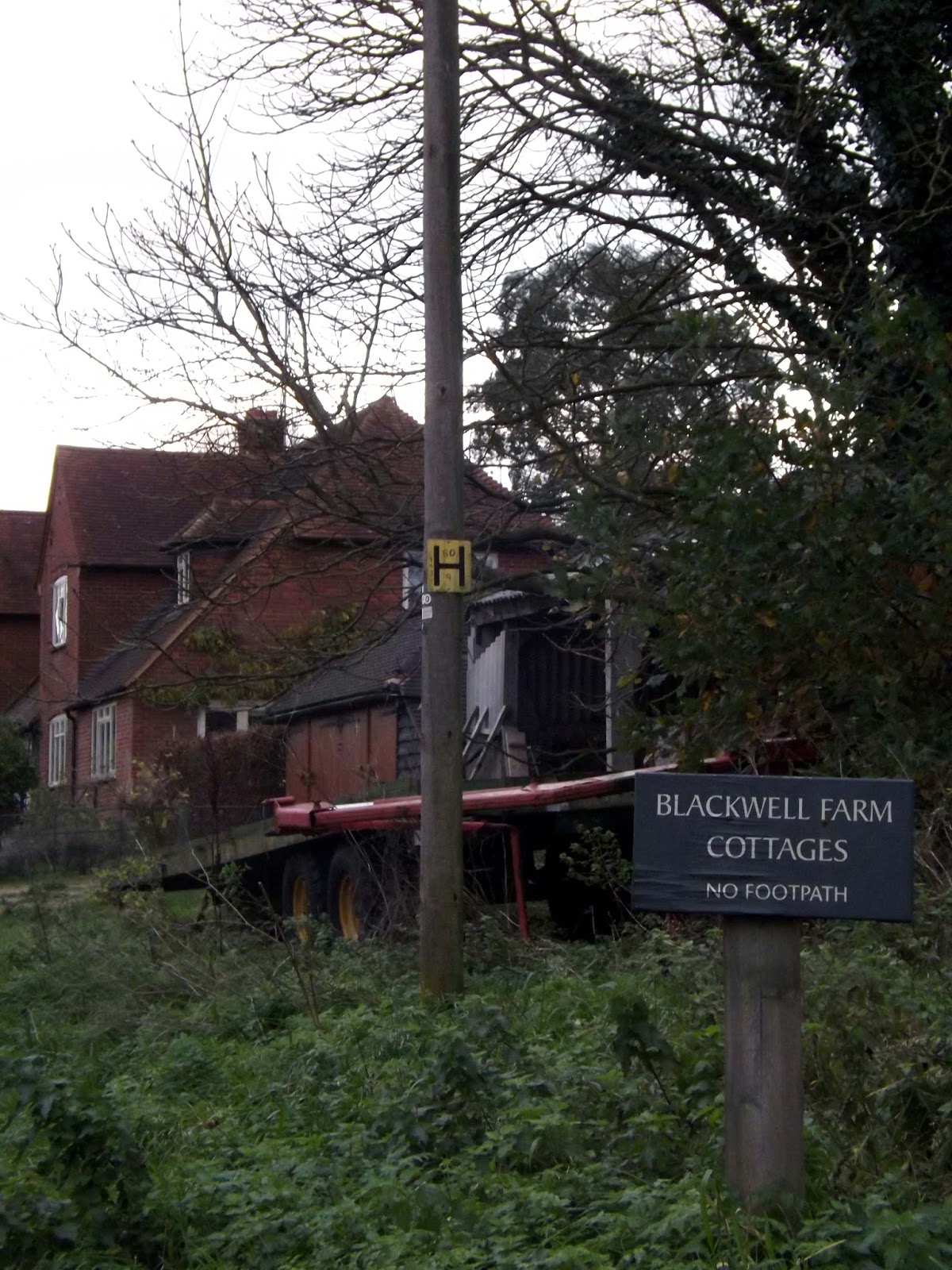
I head downhill and pass Blackwell Hall. The site of the ancient manor of that name. The current house dates from the Tudor period. From Medieval times the manor had its own corn mill. The last was demolished in 1960.
 |
| Blackwell Hall |
I trundle on through muddy fields, really tired and I've ran out of food and drink. The light is disappearing and I hope I can make Chesham before dark!
I walk out onto a road and take a road past some recycling centres, before realising this was a wrong turn. I backtrack and walk back along a busy road diving onto the verge several times to avoid speeding cars.
I walk alongside the river before entering the outskirts of Chesham.
I reach the site of Canons Mill. This was the site of a Saxon Corn Mill,referred to in the Doomsday Book. It was owned by the canons of Missenden Abbey from the early 12th century. It blast worked in 1937 and demolished in 1960.
I follow the river out into the town centre.
I cross the road into Meades Water Gardens, but didn't take any pictures as it was getting dark and it was overgrown and not worthy of a picture anyway. This was the location of the
leat for Amy Mill of which now only the sluice gate remains. The site was then converted for use as watercress beds and later ornamental gardens.
I reach the station and collapse on a bench waiting for a train for the long journey home. This should have been a 10 mile walk but ended up being 14.5 miles due to navigation problems.It was now dark and had made it just in time!
This has been the least favourite of my Chiltern walks. Not as picturesque, problems at the start and I missed having my walking buddy Dan with me. Still nice in parts and probably better still in the Summer.