After a long journey I finally arrive at Althorne station, the sun is beating down with a high of about 30 degrees. I leave the station and walk up Station Road to the top where I take the right hand fork onto the main road. Here was a War memorial pictured below.
Althorne is on the Dengie peninsula, about 5 km (3 miles) north-west of Burnham-on-Crouch.
The name Althorne has an unusual meaning in Old English, translating as '(place at) the burnt thorn-tree'. The name is composed of the words æled ('burnt') and thorn ('thorn-tree'). The earliest known recording of the village was in 1198 as Aledhorn.
 |
| A view back down to Althorne Marina |
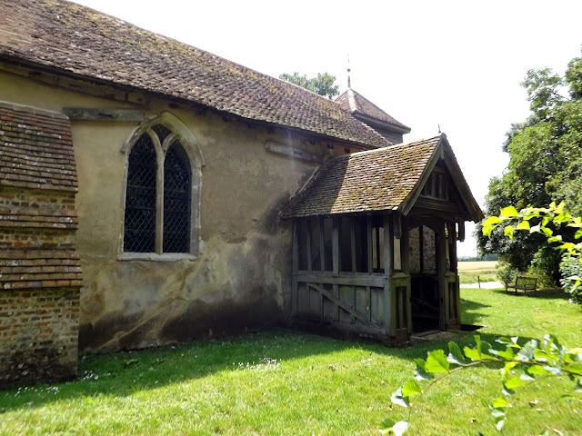
St Andrews is a Perendicular 14th century parish church with a black flint and grey flagstone tower.
The door into the church appeared to be locked, I make my way through a gate next to the church passed a horse dressed up as a Zebra and down the hill.
I passed a mother and her calf quickly as I could, as she seemed angry and started banging her foot and mooing.
 |
| Mother and calf |
 |
| Swallows on a wire. |
I emerge onto a road (B1018) and through Althorne itself.
I take another path alongside some houses and back into farmland.
The pub is a magnificent 16th Thatched county pub,the staff were very friendly and helpful. I ordreed a half pint of Hunters gold and sat in the beer garden.
Hunters Gold by Hunters Brewery 4.80%
A full bodied, golden malter beer. A lovely strong pint! The first brewed for Hunters Brewery this ale is a lovely malty flavour hopped with Goldings, a typically English hop.
With a light, fresh hop bouquet. Rounded malts in the mouth with strong hop balance and a deep, bittersweet finish.
I leave the pub and take a footpath through the campsite next door and out again into Farmland out onto Steeple road for a short stretch before taking another path through a field of wheat.
I passed Hardys, not really looking like the sort of pub that does real ales and more like a restaurant.
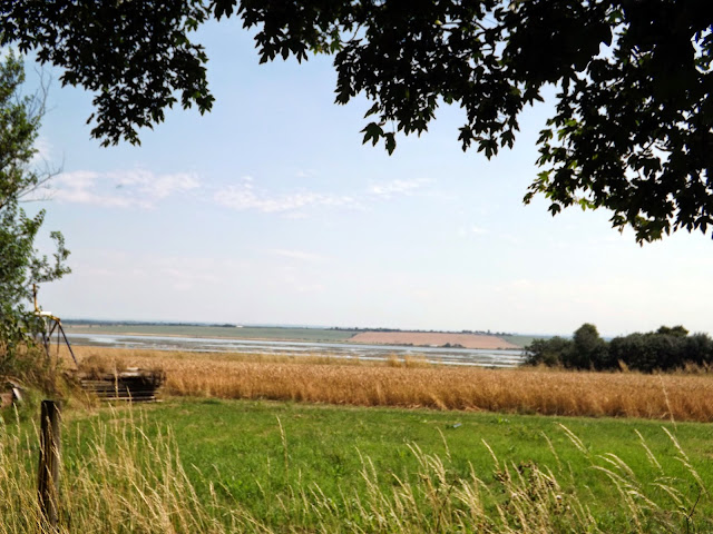
I stopped off to buy a bag of chips and sat down by the Marina to eat them,taking in the views.
 |
| A Lapwing |
After finishing my chips I follow the path around the Lawling Creek that spurs off from The Blackwater.
After a bit of walking along the creek I take a footpath that now follows St Peters Way. This is a Long Distance path of 41 miles across the open agricultural land of Essex passing Hanningfield Reservoir and inlets of the Blackwater Estuary and reaching the coast to the east of Tillingham, then following the sea wall from where there are extensive views across the Essex marshes.
I am now walking again through farmland and making my way towards Mundon.
Mundon is a village and civil parish on the Dengie peninsula in Maldon District in the county of Essex, England. It lies 3 miles south-east of Maldon. The manor of Munduna passed from the king's thegn Godwin to Eudo Dapifer at the Conquest.
I arrive in Mundon and pass a load of dead Oak Trees behind St Marys Church.
St Mary's Church, Mundon, is a redundant Anglican church in the village of Mundon, Essex, England. It is designated by English Heritage as a Grade I listed building,and is under the care of the Friends of Friendless Churches.
The oldest fabric in the present church dates from the 14th century. The church is built within the moated enclosure of Mundon Hall. It is thought that an earlier church existed on the site, possibly dating back to the Anglo-Saxon era, as it is situated on St Peter's Way, an ancient pilgrim's route to St Peter's Chapel, Bradwell.
On the chancel walls, also dating from the 18th century, are paintings of the Ten Commandments, the Lord's Prayer, the Creed, and other texts.
I now leave the church and again follow St Peters way and on towards Latchingdon.
After a while I reach a main road that leads into Latchingdon and lave St Peters Way.
I come across a lovely addition to the villages roadside attractions. A garden jam full of scrap metal!
 |
| A Scooby Doo Mobile. |
After a short stop I follow the road up a little further and take a path next to a modern looking church and again across farmland.
After a long stretch across farmland,pass a herd of goats and pass a angry doberman dog(thankfully on tied on a rope) and through a field of butterflies. I come to a cemetery and a lovely building next to it.
I'm now back on a very busy B1012(Lower Burnham Road) road heading back to Althorne. I pass a derelict water tower.
I pass by Tyle Hall,A grade II listed building. Circa 1500, much altered in C18 and C19. Timber framed, plastered,roofed with handmade red clay tiles.
 |
| Tyle Hall |
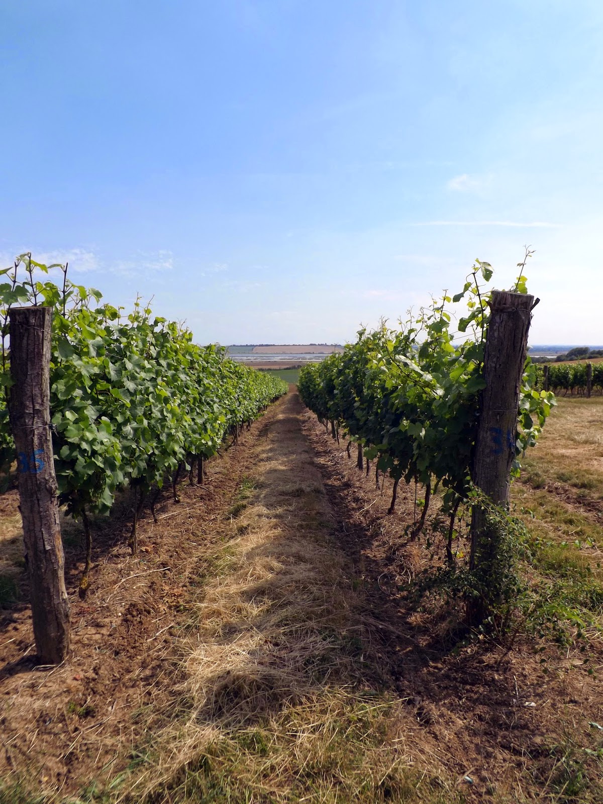
I walk through Clayhill vineyard to get of the busy road, although this isn't a footpath,so technically trespassing.The grapes had only just begun to grow.
I eventually arrive back at Station Road and walk back down to wait for the train home.A total of a 12 mile walk.


nice pics and commentry
ReplyDeleteThank you
DeleteThank you
Delete