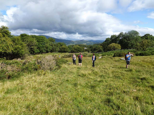
Brian Palmer was the first to arrive with his dog Bryn,followed by Max Weicko and his wife, Heidi Mitchell,Nick Keasley,Aristole Chipbucket,Glyno and Karen James.
 |
| Stream in Ty Nant Car Park. |
We now climb up the footpath to the first of our peaks Gau Graig at 2241ft.
Cadair Idris or Cader Idris is a mountain in Gwynedd, Wales, which lies at the southern end of the Snowdonia National Park near the town of Dolgellau. The peak, which is one of the most popular in Wales for walkers and hikers,is composed largely of Ordovician igneous rocks, with classic glacial erosion features such as cwms, moraines, striated rocks, and roches moutonnées.
After a steep ascent we are on top of Gau Graig.
Gau Graig is a subsidiary summit of Cadair Idris in the Snowdonia National Park, in Gwynedd, northwest Wales. It lies to the east of Mynydd Moel on a broad grassy plateau. It marks the eastern end of the Cadair Idris ridge.
The summit is marked by a cairn. To the north are Y Garn and Diffwys, to the west Rhobell Fawr and Aran Fawddwy and to the south are Waun-oer and Cribin Fawr. (From Wikipedia)
Now we head of for our second peak Mynydd Moel at 2831 ft.
We stop of for a rest and a bite to eat before attempting the climb up to Mynydd Moel.
We reach the top of Mynydd Moel after a gruelling climb up and are met with more breathtaking views.
Mynydd Moel is a subsidiary summit of Cadair Idris in the Snowdonia National Park, in Gwynedd, northwest Wales. It lies to the east of Cadair Idris and is often climbed as a horseshoe along with Craig Cwm Amarch and Cadair Idris.
The summit bare an rocky and marked with a cairn. The north face like Cadair Idris has large cliffs. To the east is a lower broad plateau topped by the summit of Gau Graig. (from Wikipedia)
We head for Penygader the highest peak on Cadair Idris Range at 2930 ft.
 |
| View from Penygader down to Barmouth |
There are numerous legends about Cadair Idris. Some nearby lakes are supposed to be bottomless, and anyone who sleeps on its slopes alone will supposedly awaken either a madman or a poet. This tradition (of sleeping on the summit of the Mountain) apparently stems from bardic traditions, where bards would sleep on the mountain in hope of inspiration.
In Welsh mythology, Cadair Idris is also said to be one of the hunting grounds of Gwyn ap Nudd and his Cŵn Annwn. The howling of these huge dogs foretold death to anyone who heard them, the pack sweeping up that person's soul and herding it into the underworld.
Cadair Idris, a Welsh mountain, literally means "Chair of Idris". Idris was said to have studied the stars from on top of it and it was later reputed to bestow either madness or poetic inspiration to whoever spent a night at its summit. According to John Rhys, there were three other giants in the Welsh tradition along with Idris – Ysgydion, Offrwm, and Ysbryn – and all of them have mountains named for them near Cadair Idris.
The historical Idris is thought to have been killed during a battle with Oswald of Northumbria near the River Severn around 632, although the Welsh annals merely state he was strangled in the same year.
 |
| Penygader Summit |
 | |
| Group shot on Summit of Penygader |
 |
| Llyn y Gaider |
We now follow the Pony Path back down the mountain,but now before we take another unexpected summit Cyfrwy ( The Saddle).
We are now on the top of Cyfrwy and taking some photos of the views back to Penygader.
Cyfrwy is a subsidiary summit of Cadair Idris in the Snowdonia National Park, in Gwynedd, northwest Wales. It lies to the west of Cadair Idris and is often climbed with Cadair Idris by taking the Pony Path.
The summit is bare an rocky and marked with a cairn. The north and east face has large cliffs. A rock climb/extreme scramble known as the Cyfrwy ridge is found here. This ridge is very steep and rope and rock climbing skills will be needed. To the east is Tyrrau Mawr and Craig-y-llyn, while to the south is Craig Cwm Amarch.
We down descend down the Pony Path and back towards the car park.
 |
| |Zoom in of view down to Barmouth. |
 |
A fantastic walk with a great bunch of people, a total of 10.5 miles and 3,650 ft of ascent.


